Sign up for Creek Camp (ages 8-12) at Sugarloaf Ridge State Park! Learn more.
Welcome to Sugarloaf Ridge State Park
Sugarloaf Ridge State Park contains the headwaters of Sonoma Creek. It runs through gorge and canyon, across the meadow floor, beneath scenic rock outcroppings, and is surrounded by redwoods and ferns. With 47 family-sized campsites and 25 miles of hiking trails, it is the perfect place to spend time outdoors!
Note: Pets are permitted in the campground and picnic area and on paved roads in the main park area, but not on park trails or in the back-country regions and roads.
Current Park Conditions
Sugarloaf Ridge State Park is open every day from 6:00 a.m. to 10:00 p.m. above the kiosk. The Visitor Center is open from 9:00 a.m. to 5:00 p.m.
On the Conditions page, you can find the latest updates on trail status, special projects, weather conditions, and wildflower reports at Sugarloaf Ridge State Park. Stay informed about current trail accessibility, temporary closures due to maintenance or pile burns, seasonal weather impacts, and the latest wildflower sightings.

Photos by Melania Mahoney
Outdoor Summer Camps at Sugarloaf!
For kids ages 8-12—Join Sonoma Ecology Center’s Environmental Education Team at Creek Camp this summer! This long-running, family-favorite camp offers a whole week of outdoor adventures on Sugarloaf’s trails. Each day includes a balance of games, hiking, and storytelling, providing a wonderful opportunity for your child to unwind, recharge, and build lasting friendships this summer without the distractions of screen time.
Sonoma Ecology Center also offers Earth Explorers Camp at Sonoma Garden Park for ages 6-11. Click below to learn more!

The SugarShuttle is Back!
The SugarShuttle is back for the first weekend in May and second weekend in June. Now, you can do a thru-hike of nearby parks from Sugarloaf without complicated and time-consuming car drop-offs. Click below to learn more!

Calendar of Events
Explore backpacking courses, yoga hikes, educational workshops, and more. Our Calendar of Events offers enriching outdoor experiences for participants of all ages and mobility levels.

Camping
We have 44 campsites open, both reserveable in advance and first-come, first-served in our lovely creekside campground.

Camping at Sugarloaf
You can enjoy camping year-round at Sugarloaf with 47 family-friendly, alcohol-free camping spaces nestled in a large meadow and bordered by a year-round stream and a hillside forest.

Stargazing at Robert Ferguson Observatory
Completely dedicated to public viewing and education, the Robert Ferguson Observatory is the LARGEST in the western United States and it’s right here at Sugarloaf Ridge State Park.

Community-Operated Park
Sugarloaf Ridge State Park is operated by Sonoma Ecology Center and Team Sugarloaf. Learn more by visiting the Team Sugarloaf Page
The Ecology Blog
Learn about the many activities and impacts throughout Sonoma Valley of our lead organization, Sonoma Ecology Center.
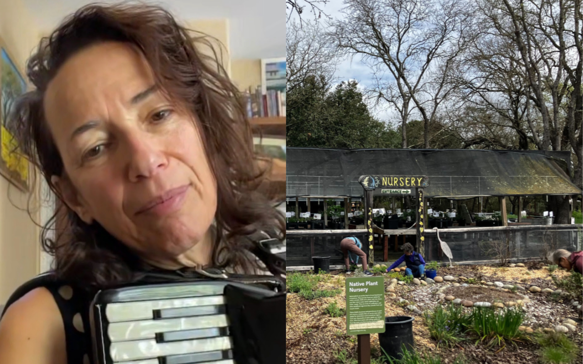
Growing Climate And Community Resilience Through Native Plants
This blog article by Sonoma Ecology Center’s GrizzlyCorps Fellow, Faith Shortridge, was originally published on grizzlycorps.org under the title ‘Native Plants Are Our Friends’ on April 7, 2026.A cart of […]
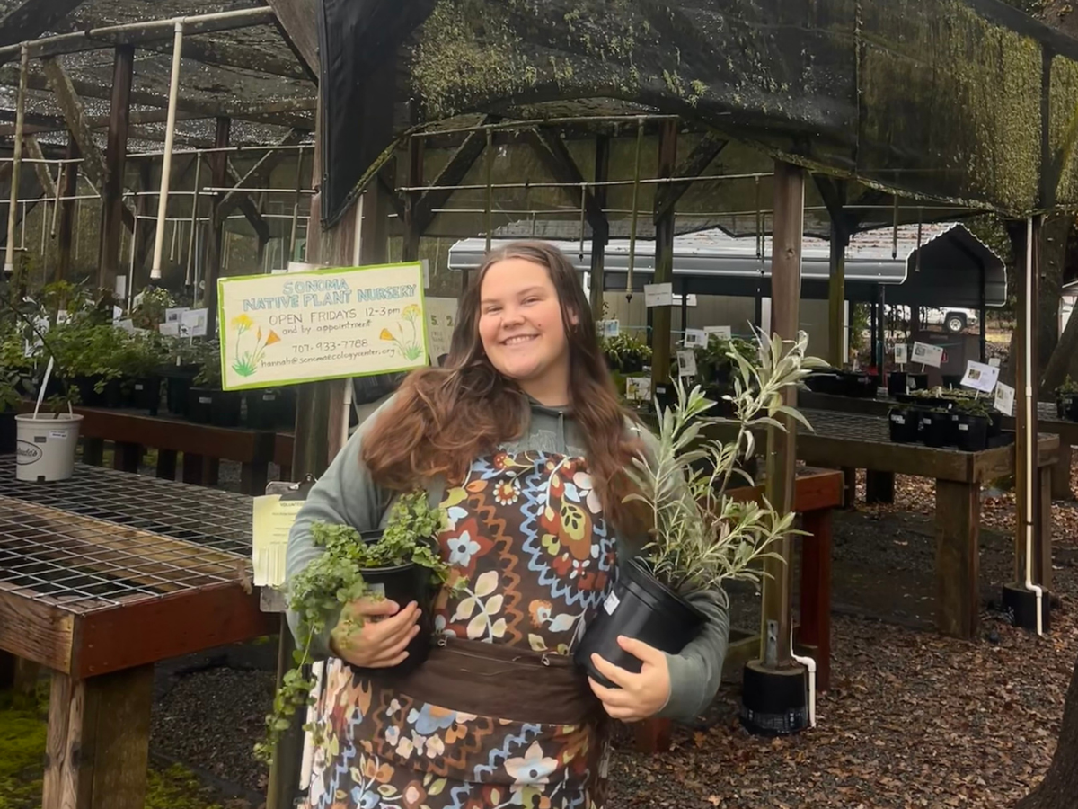
Remembering Hannah Aclufi
It is with heavy hearts that we share the news of Hannah Ronit Aclufi’s passing. Hannah was a beloved member of the Sonoma Ecology Center community, and her presence will […]
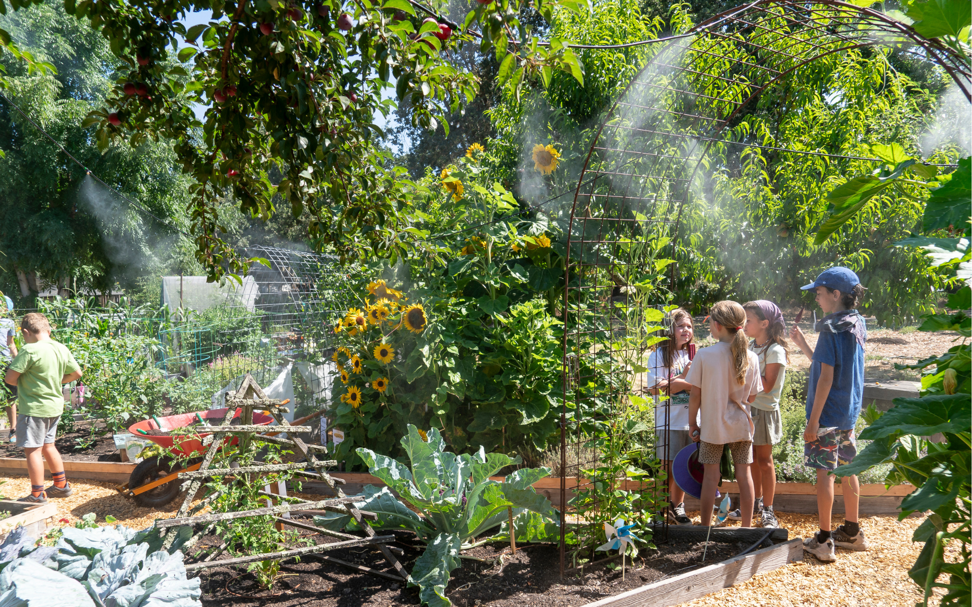
Welcoming Spring at Sonoma Garden Park
Photo by Melania MahoneyThere is an Edenic feel to Sonoma Garden Park this time of year: fruit trees are a wash of vibrant pink and white blooms, birds are chattering, […]
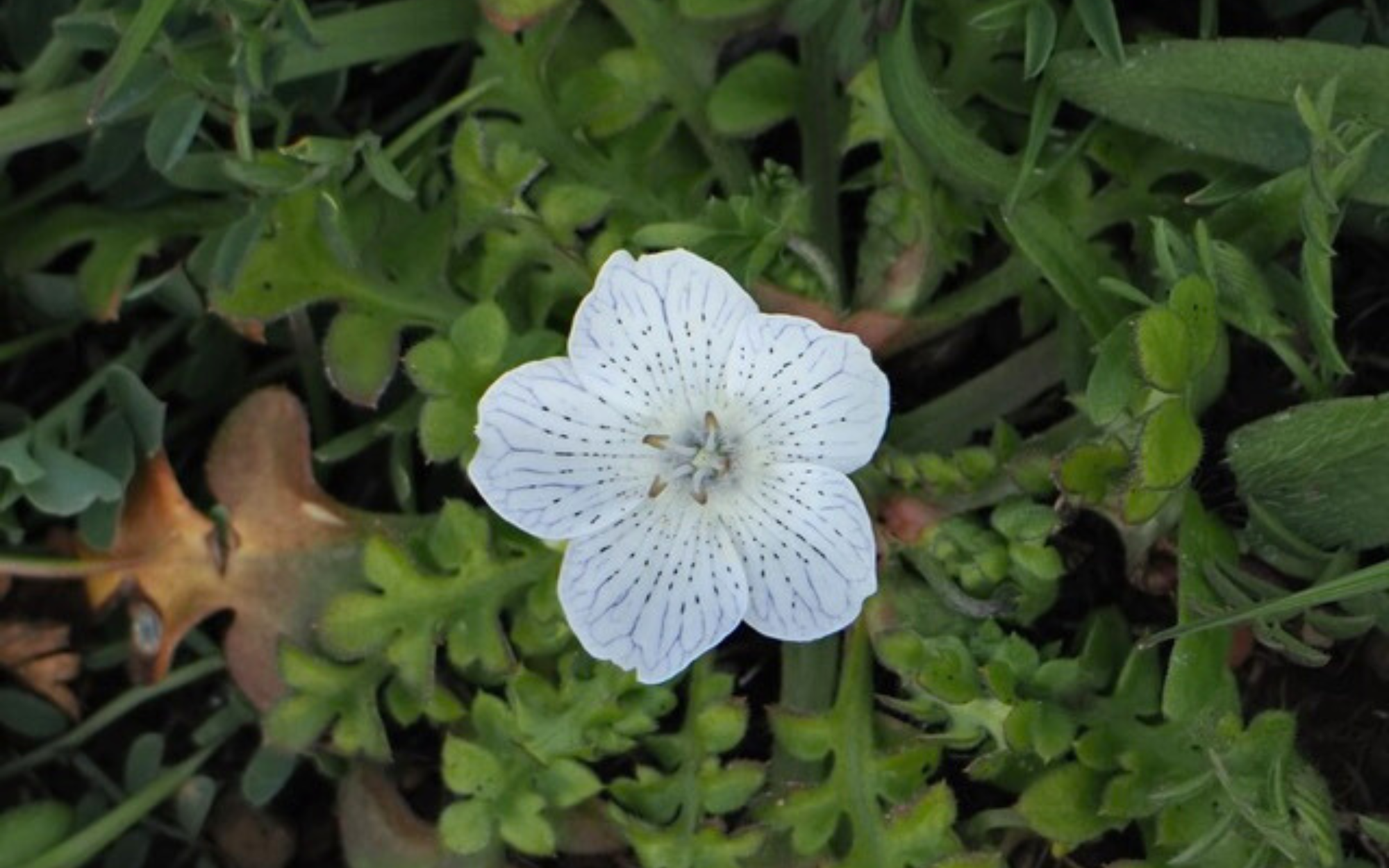
Sugarloaf Ridge State Park Spring Wildflower Report
Baby Blue Eyes (Nemophila menziesii), photo courtesy of Jim Webb. Wildflowers start to bloom along the trails at Sugarloaf Ridge State Park as early as January, hinting at the promise […]
Support Sugarloaf
Your donations help keep Sugarloaf open for all!
Keep in Touch!
Subscribe to our newsletter
Follow Us
![]()
![]()